


Drone Detection
Detect Drones
and Their Pilots
Gain complete situational awareness with our state-of-the-art Remote ID receivers, designed for public safety agencies, critical infrastructure, and professional operations.
See our receivers

Remote ID Receivers
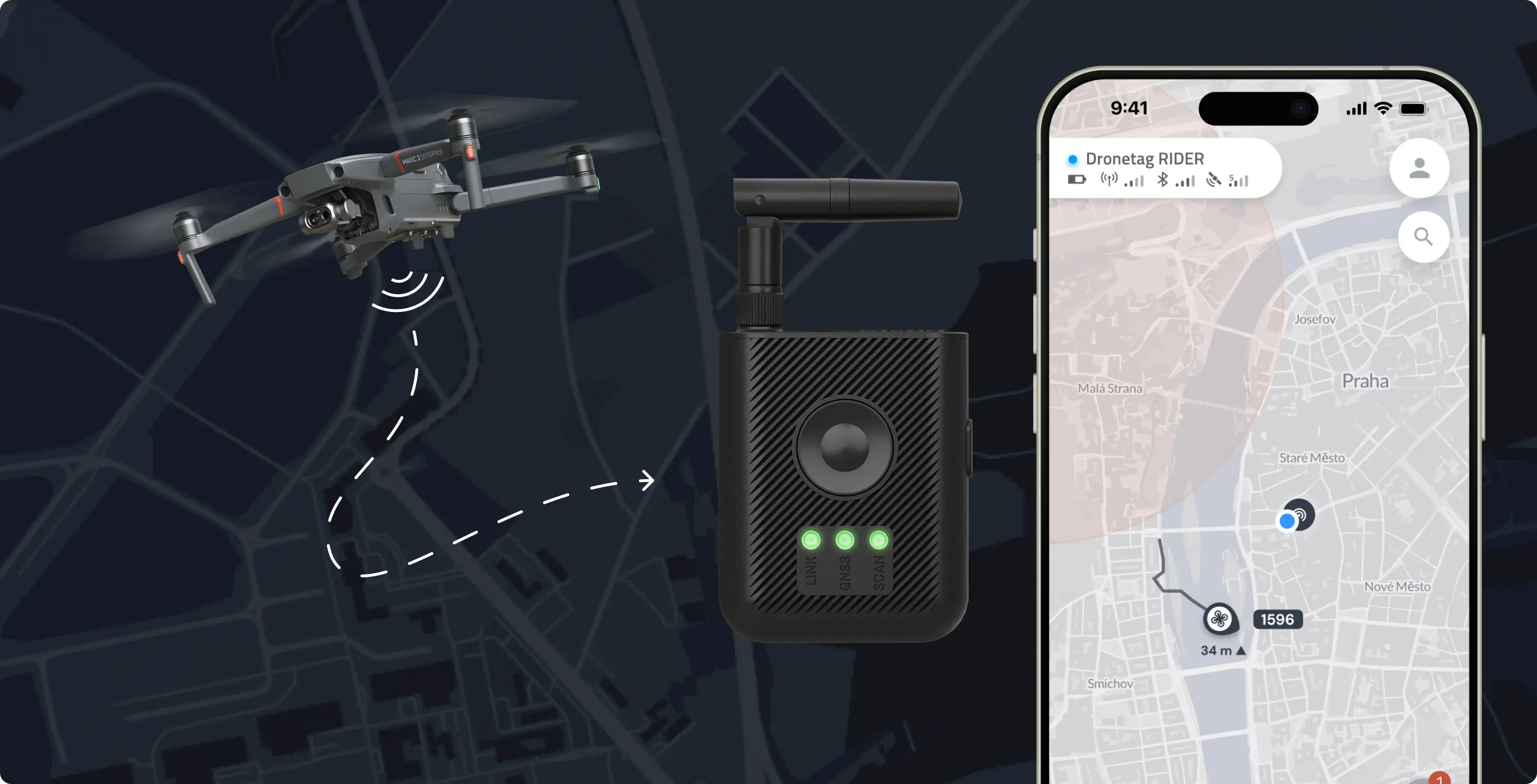
How Remote ID
Detection Works
Remote ID regulations require modern drones to broadcast their location and identification data. Our receivers capture this data, process it, and display it in the Dronetag App. This allows you to see not only the drone's telemetry and model, but also the real-time location of its pilot, enabling you to safely and quickly de-escalate dangerous situations.
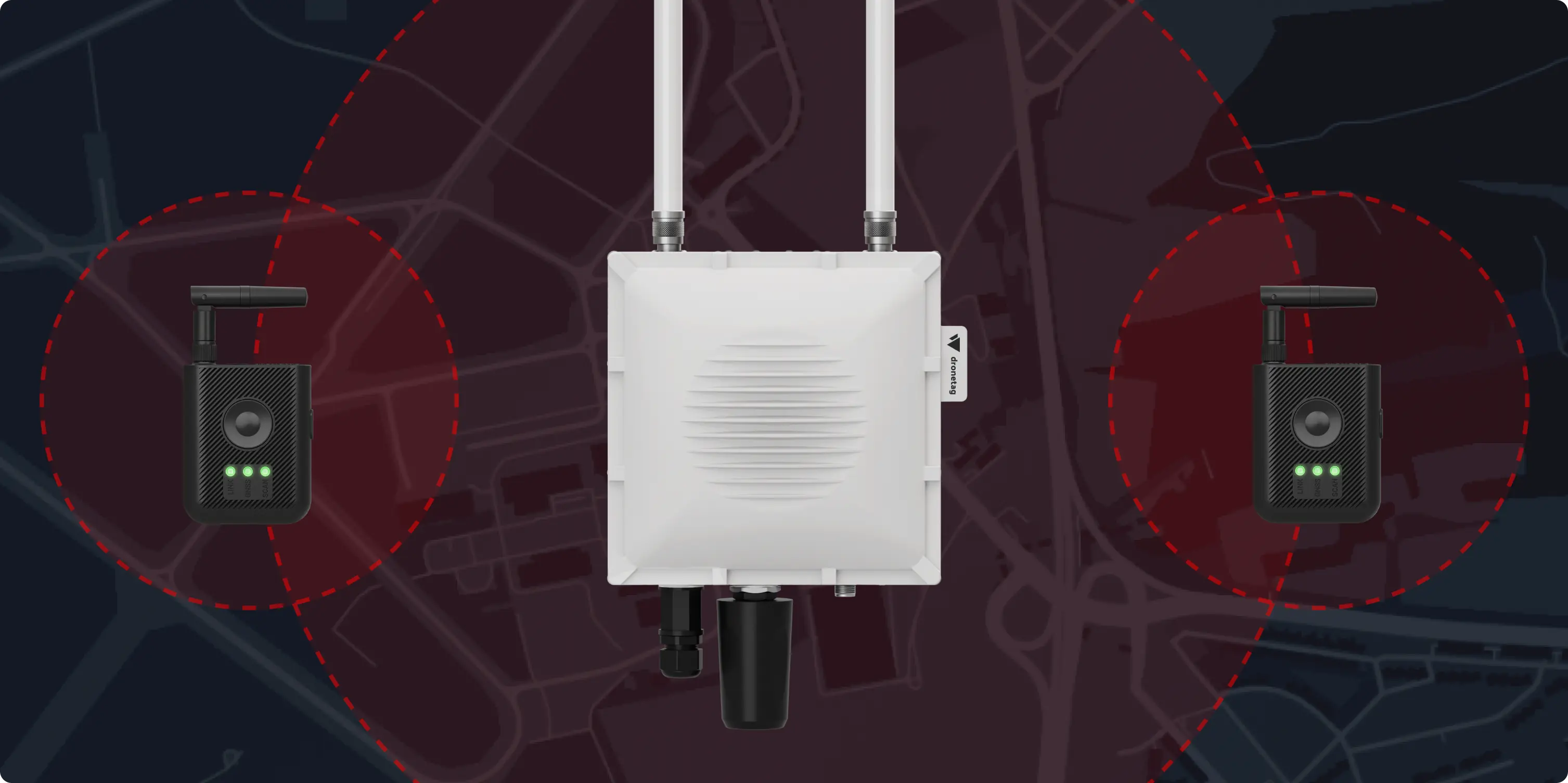
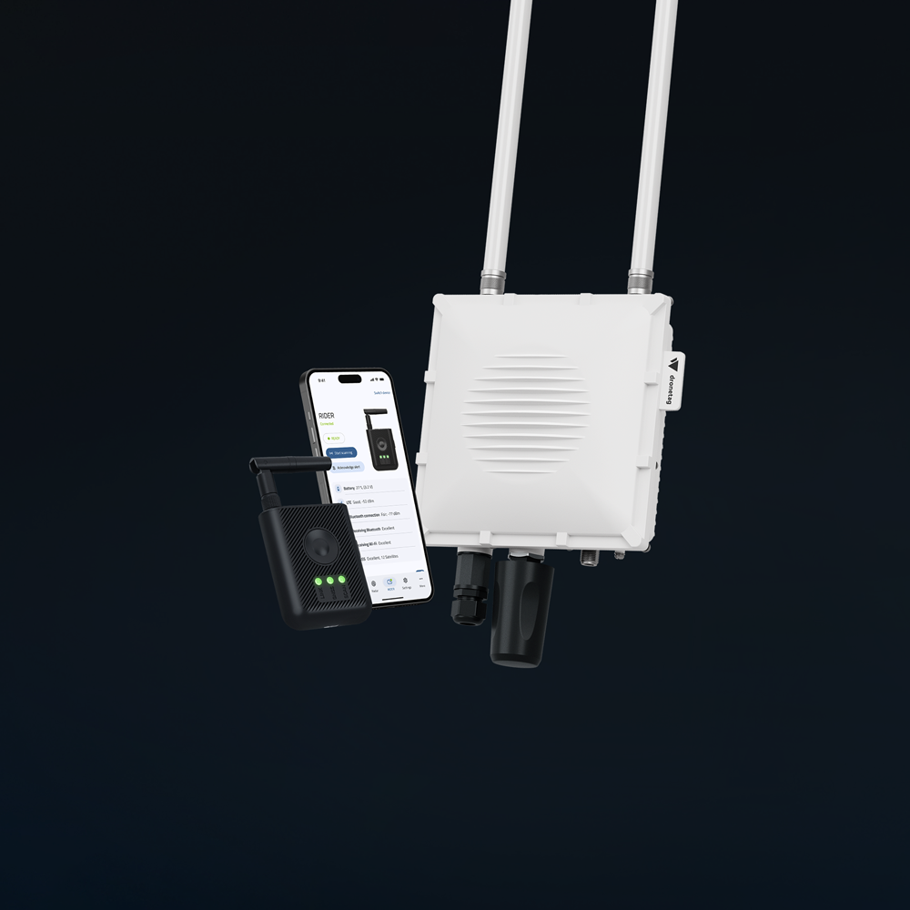
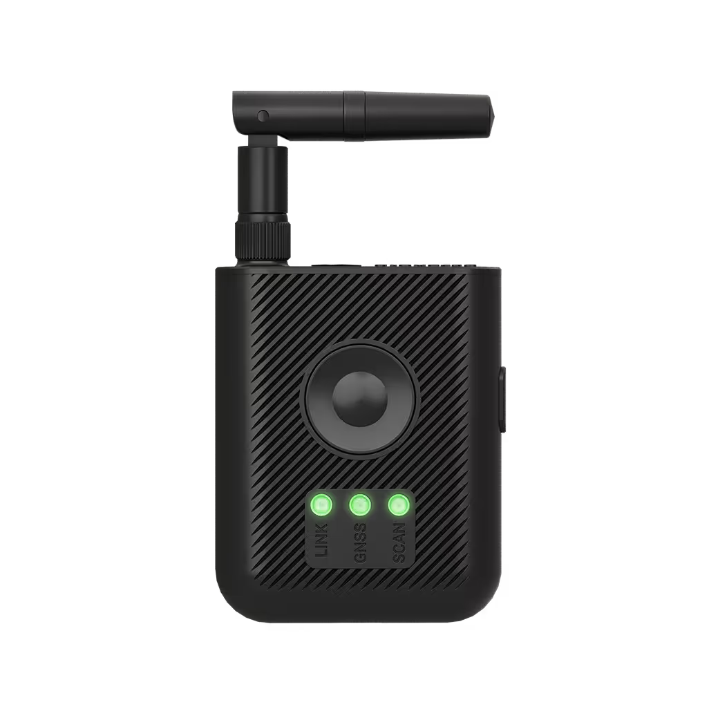
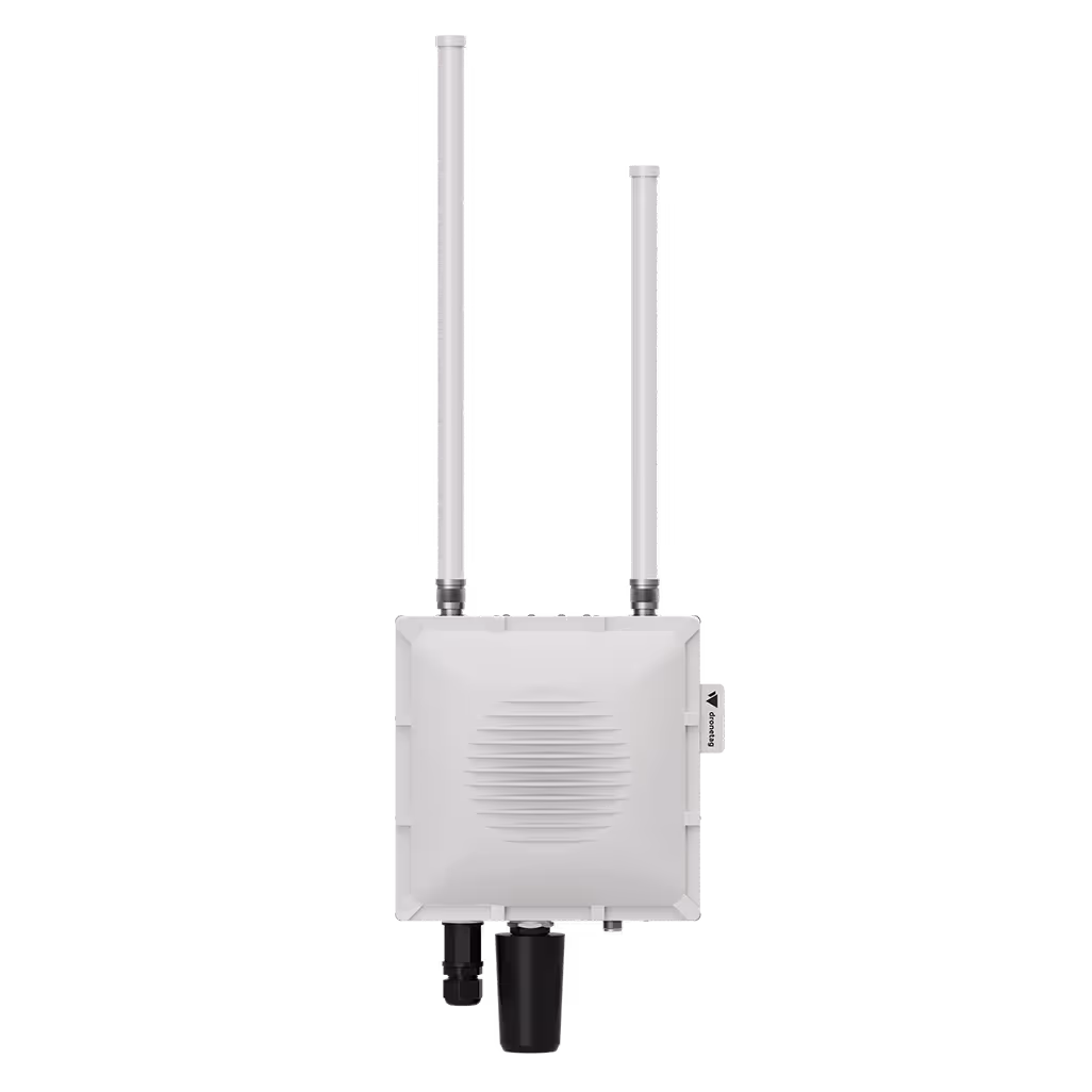
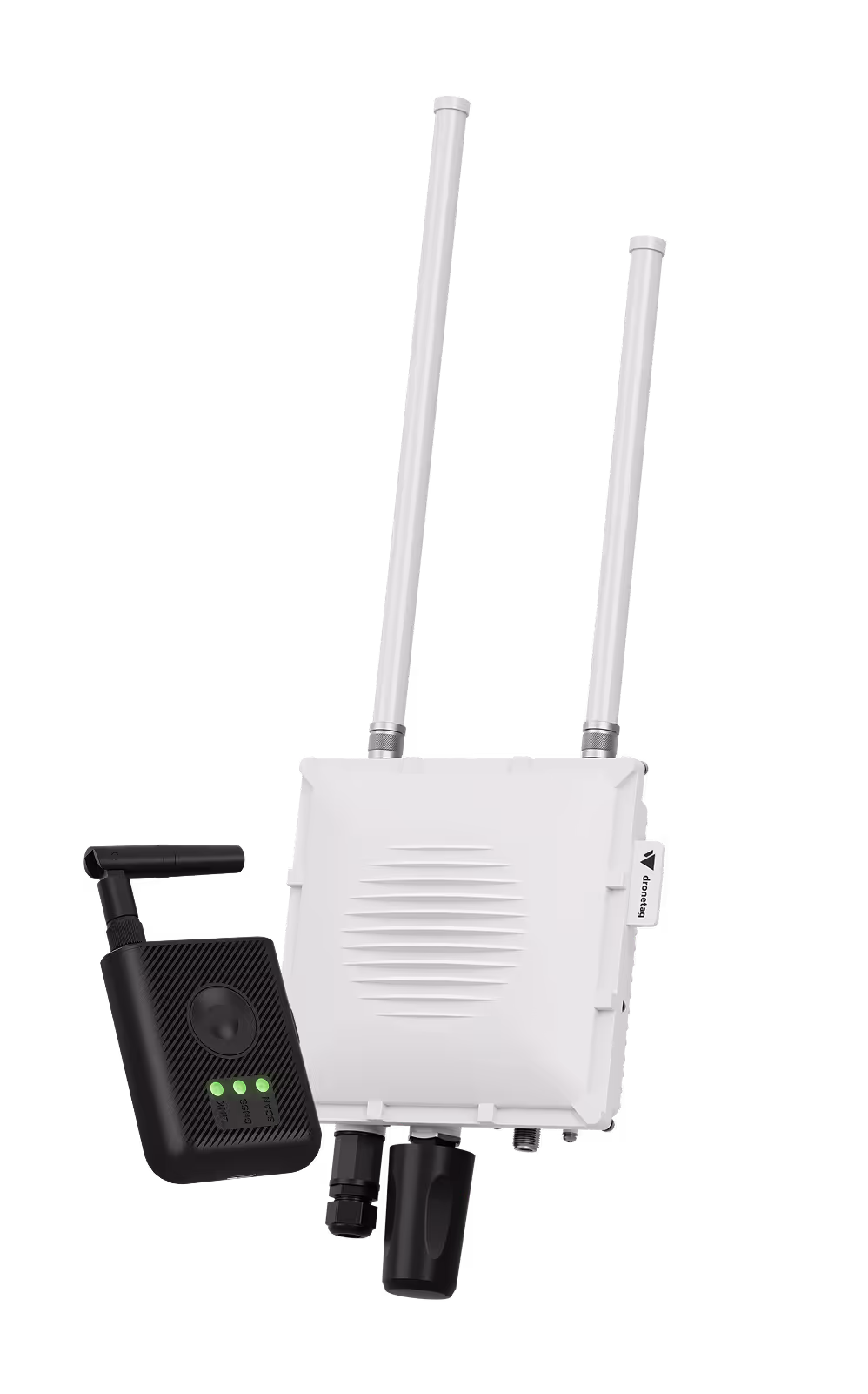
Portable
vs. Stationary
Our detection hardware was designed for public safety, critical infrastructure protection, and defense. Because every mission is different, we created the portable RIDER for on-the-go awareness and the powerful, all-weather Scout for 24/7 perimeter protection. For maximum effect, you can combine both, feeding data from multiple devices into a single, unified dashboard.
Receivers
Features
Pilot & drone detection
See the precise, real-time location of both the drone and its pilot to quickly de-escalate threats.
Drone agnostic
Our receivers detect any drone from any manufacturer that is compliant with Remote ID standards.
Scalable & affordable
Remote ID detection provides an effective and easily scalable awareness solution at a fraction of the cost of traditional RF detection systems.
Built for integration
Easily feed detection data into your existing C-UAS or UTM systems. We have over 25 existing integrations and a robust API.
Offline operational security
Dronetag devices support secure offline modes for sensitive missions, ensuring your data stay safe.
Versatile for any mission
From a single portable unit to a network of stationary sensors, our ecosystem is built for a wide range of use cases.
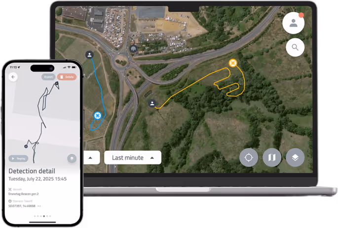
Dronetag
Visualization Platform
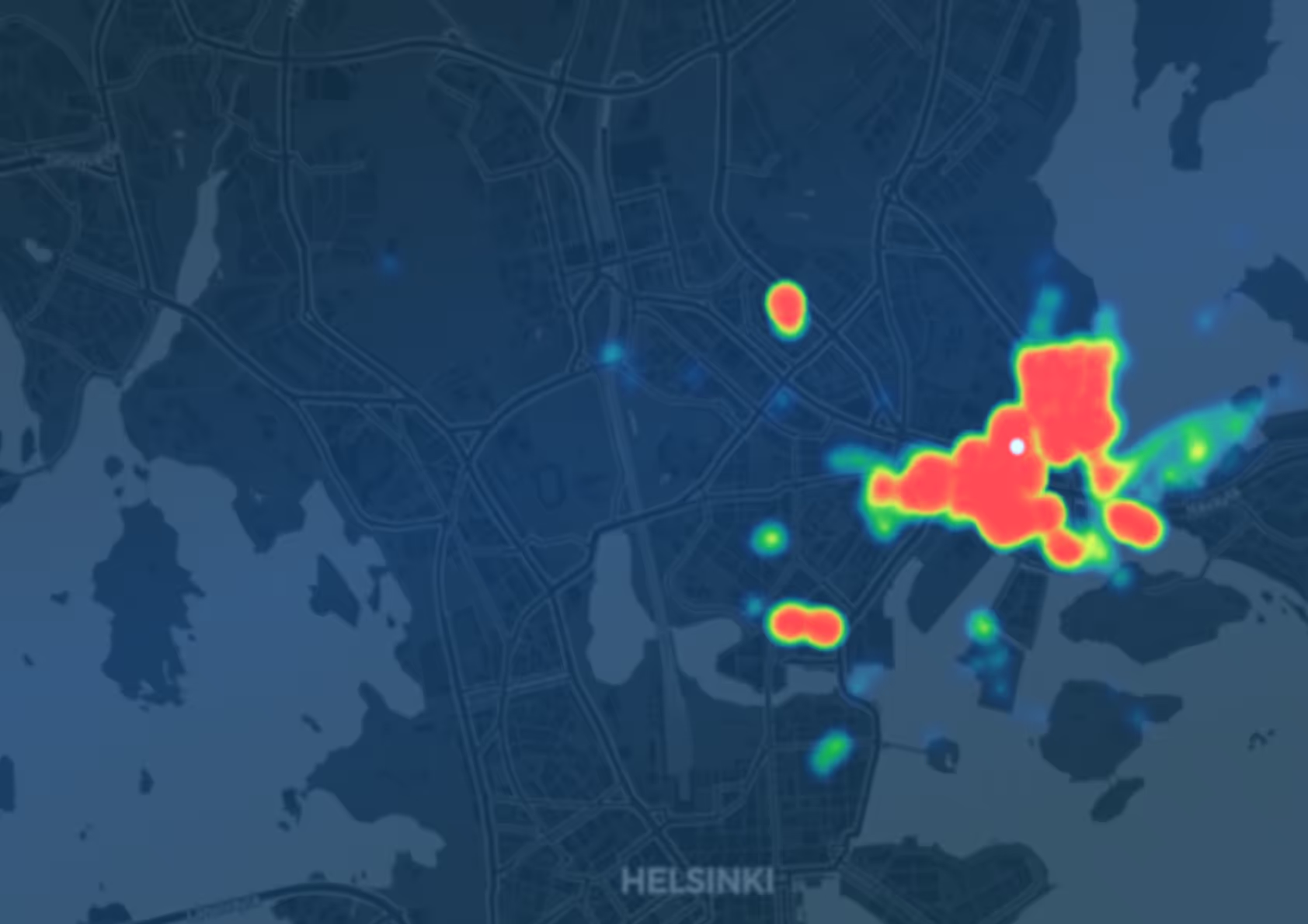
The Dronetag App is the central hub of our ecosystem, available on iOS, Android, and the web. It is designed to be highly intuitive, transforming complex detection data into a clear operational picture for live monitoring and post-event analysis.
Manage all your devices, check airspace zones, plan flights, and inspect real-time flight data from a single, intuitive interface. Utilize features like custom alert zones, instant notifications and whitelisting to distinguish friend from foe.
Explore our platform
Advanced Monitoring Features
Custom alert zones, instant notifications, whitelisting and more.
Device Management
Set up, manage, and update all your Dronetag devices from a single location.
Flight Journal & Log Export
Review detailed flight history and export data in multiple open formats for reporting and analysis.
We Encourage Developers
Integration
Check our detailed documentation. You’ll find that integrating our hardware is surprisingly simple.
Show details
Used by
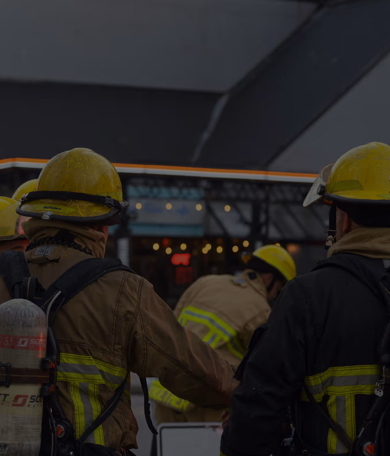
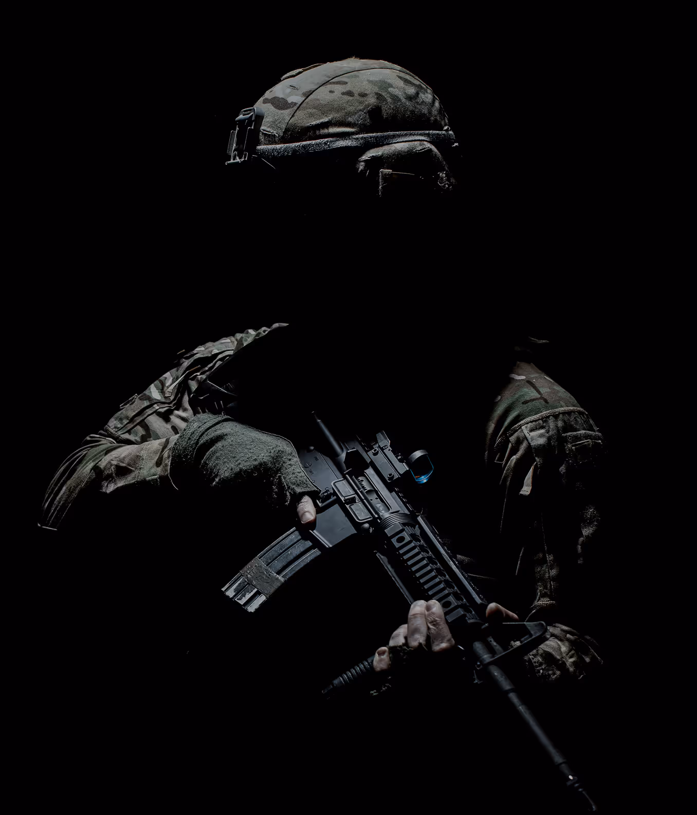
First Responders
Operate safely and maintain aerial awareness during missions
Law Enforcement
Detect, identify, and respond to uncooperative flights

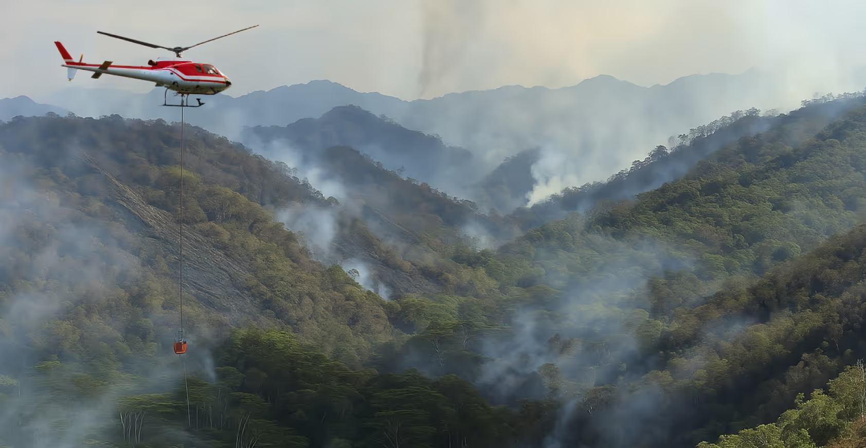
Critical Infrastructure
Secure your skies and protect high-value assets

Defense Sector
Integrate tactical drone tracking into complex environments
Event Coordination & Security
Maintain the airspace clear and monitored during public gatherings


Trusted by


Take Off with Dronetag Now
Whatever your airspace needs, we’ll help you find the right setup from hardware to integration.
.svg)
