

Dronetag now feeds detection data into the AirWise Nexus picture
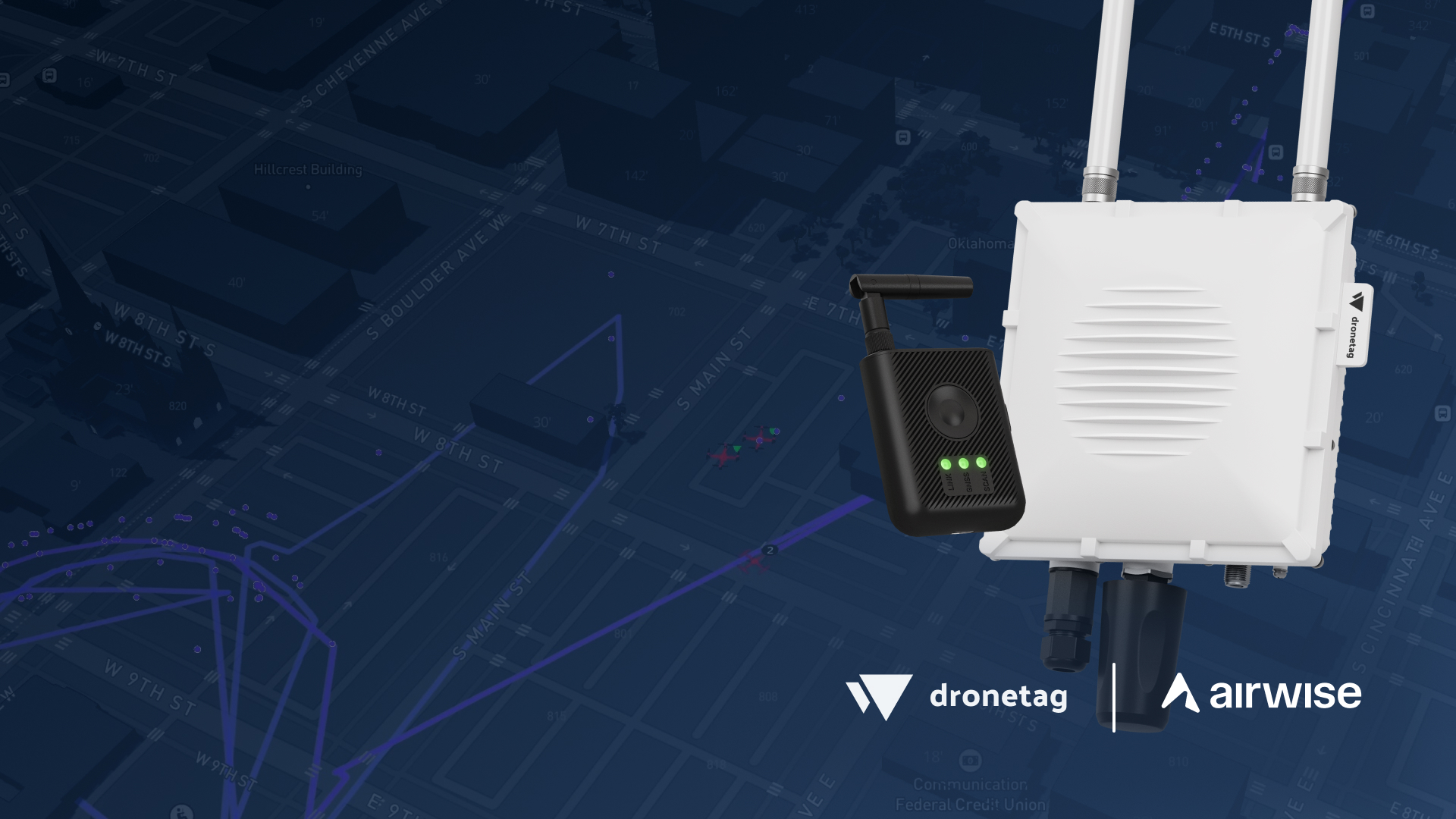
AirWise Solutions builds airwiseOS, an operational intelligence platform covering the full drone mission lifecycle. Nexus is its in-flight common operating picture, fusing ADS-B, RF, radar and weather into a single view. Dronetag adds the cooperative identification layer to that fusion, visualized in real time alongside drone telemetry, radar and the other sensor inputs already feeding it.
The baseline layer
Cooperative identification is the layer to deploy first. It covers the compliant majority of traffic, it deploys within minutes, and it scales across sites for a fraction of what radar coverage costs to deploy and run. A single fixed Scout reaches 15 miles, with RIDER covering the ground a fixed network was never positioned for.
Each detection carries the aircraft's position, the pilot's position, and the drone's serial number.
For public safety and first response
The pilot position is the operationally critical field. Precise aircraft telemetry tells a supervisor what is in the airspace and where. The pilot position tells them where to send someone. Together they make deconfliction a decision that takes seconds rather than a radio conversation, and they make incident logging a byproduct of the flight rather than a reconstruction afterward.
For a drone-as-first-responder program launching on calls, that is the difference between knowing a second aircraft is overhead and being able to resolve it before the ground units arrive.
For infrastructure operators
Running continuously, the same layer turns a site from reactive to monitored. Activity is logged whether or not anyone was watching, repeated presence gets flagged rather than noticed by chance, and traffic patterns become visible over weeks rather than inferred from individual reports. That record is what supports a decision about whether a site needs a different posture.
For BVLOS operations
Beyond visual line of sight removes the observer who would otherwise be looking up. A fused picture that includes cooperative identification puts part of that awareness back, and does it in a form that persists after the flight. For programs building toward routine BVLOS, that is a stronger safety foundation than uncooperative sensors alone.
About AirWise Solutions
AirWise Solutions develops airwiseOS, an operational intelligence platform for enterprise drone operations. Its integrated applications, airspace authorizations, pilot and fleet management, UTM operational intent, mission planning, analytics, and the Nexus common operating picture, enable public safety agencies, utilities, and enterprise organizations to safely manage complex drone operations. AirWise Solutions is headquartered in Tulsa, Okla.
Getting started
The integration is available to AirWise customers using Dronetag receivers or transmitters, and is enabled from the Dronetag app account settings.
AirWise on the integration here.
FAQ:
What does the Dronetag and AirWise integration do?
It adds the cooperative identification layer to the AirWise Nexus common operating picture. Scout and RIDER detections appear alongside ADS-B, RF, radar and weather, each carrying the aircraft's position, the pilot's position, and the drone's serial number.
Why deploy cooperative identification before radar?
It covers the compliant majority of traffic, deploys within minutes rather than through site survey and spectrum coordination, and scales across sites for a fraction of what radar coverage costs to deploy and run. It is the baseline layer, not a replacement for the sensors above it.
Does this detect drones that are not broadcasting Remote ID?
No. This is the cooperative layer. It covers compliant aircraft and unintentional incursions, and it sits alongside radar and RF rather than in place of them.
What is the difference between Scout and RIDER here?
Scout is fixed and covers a site continuously out to 15 miles. RIDER is portable and moves with a team, covering ground a fixed network was never positioned for. Both feed the same picture.
How is it enabled?
From the Dronetag app account settings. It is available to AirWise customers already using Dronetag receivers or transmitters, with no additional hardware for an existing deployment.
.svg)
